Cadastral projects for civil engineering firms and municipal agenies
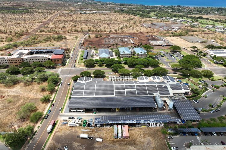
Agricultural and construction site mapping
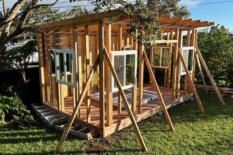
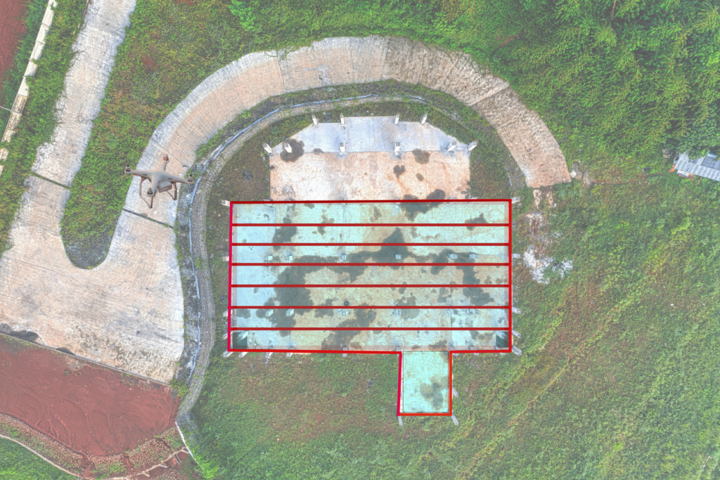
Construction site progress monitoring volumetric calculations
Undercut helicopter surveys by up to 60% with no compromise on resolution or accuracy
Fully insured operations
Aerial Photo + Video services
We combine artistic vision, technical precision, and marketing expertise to deliver visuals that are not only stunning, but tell a story in today’s competitive market.
We map agricultural land, resorts, golf courses, construction sites, and large site complexes across Hawaii Island. Additional travel charges will be included on other islands in Hawaii
Q: What do I get from a mapping project?
You get accurate aerial maps and imagery of your site which can include orthomosaic maps or 3D models, useful for planning, monitoring, and documentation.
Q: How accurate are the maps?
Accuracy depends on the site and the project goals. Tell us what you need it for and we’ll recommend the right approach.
Q: Can you map the same site over time?
Yes. Repeat mapping is a great way to track crop growth, construction progress, or changes to land. Ask about seasonal or recurring schedules.
Q: What is an orthomosaic?
An orthomosaic is a detailed, geometrically corrected aerial image created by stitching together multiple overlapping photographs, typically taken by a drone. Spin-Physics uses an enterprise DJI Matrice 4E drone for this purpose and has a second drone for backup.
Q: What is a 3D model created by a drone and modeling software?
Adrone3Dmodelisa digital three-dimensional representation of an object or environment created with drone data. Drone3Dmodels are typically made with image-based photogrammetry.
Q: What is a point cloud from a drone?
A point cloud from a drone is a collection of thousands or millions of data points in a 3D space, generated using technologies like LiDAR or photogrammetry.
Q: What is a drone-created elevation model?
A drone-created elevation model is a 3D representation of terrain and surface features generated from aerial drone imagery using photogrammetry or LiDAR, producing either a Digital Surface Model (DSM) that includes buildings and trees or a Digital Terrain Model (DTM) that shows the bare earth.
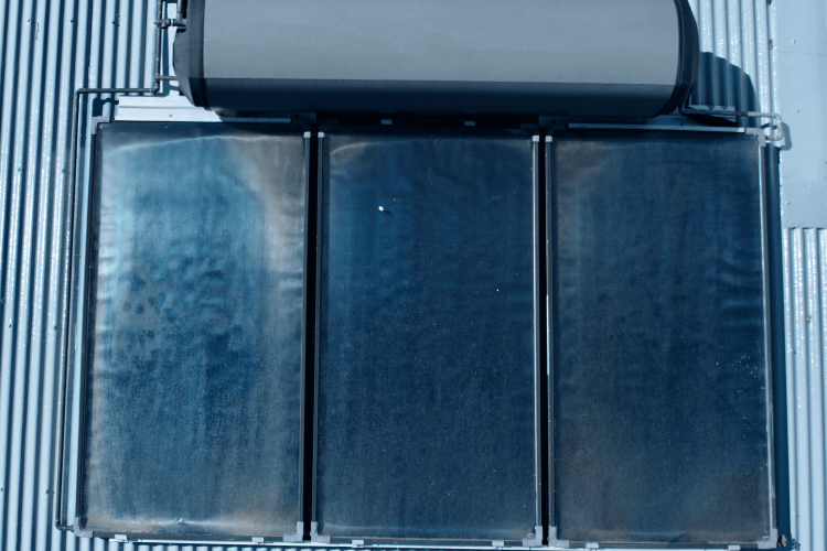
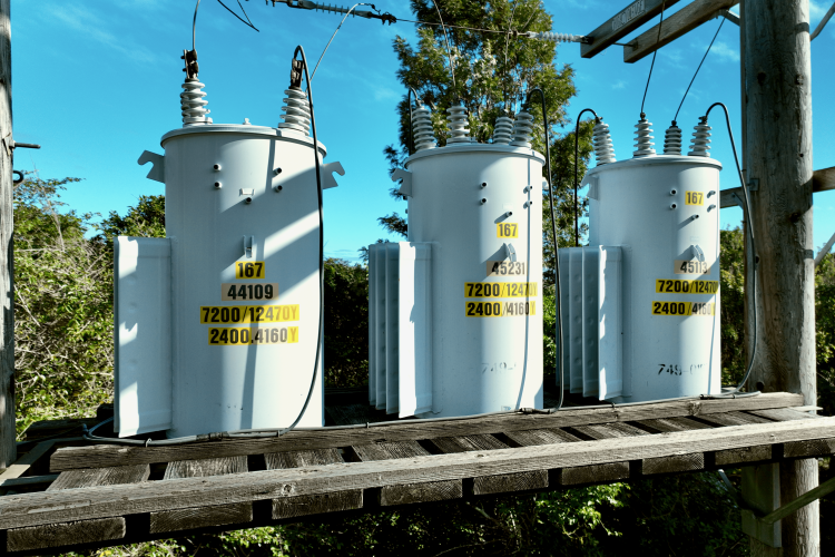
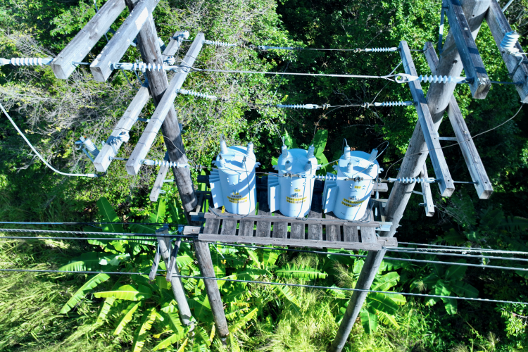
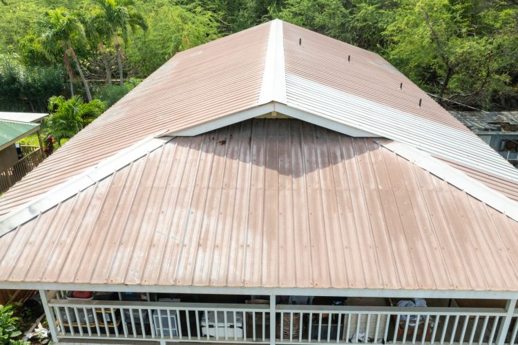
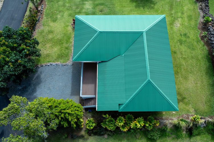
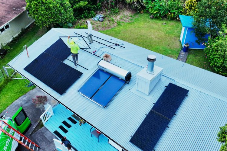
Roof, Solar, & Building Inspections
Q: What does a drone inspection capture?
High-resolution photos and video of roofs, solar arrays, and building exteriors, including areas that are hard, dangerous, or impossible to reach on foot. You get a clear visual record of condition, damage, and wear.
Q: Why use a drone instead of a ladder?
It’s faster, safer, and more thorough. There’s no one on the roof, no walking on fragile surfaces, and no risk to solar panels or tiles.
Q: Will my insurer accept the results?
Many insurers and adjusters use aerial documentation. Since requirements vary by carrier, check with yours, and we’ll gladly tailor the deliverables to what they need.
Q: What do I receive after the inspection?
You get organized, labeled images and video delivered digitally along with a summary report, typically within one day after completion.
Q: What do I receive after the inspection?
You get organized, labeled images and video delivered digitally along with a summary report, typically within one day after completion.
Q: How long does the inspection take?
Most residential roofs take under two hours onsite. Larger commercial properties and solar arrays take longer, and we will give you the estimate up-front.
Q: Are you licensed to fly commercially?
Yes. We hold an FAA Part 107 Commercial Pilot Certification, which is required for any drone work done for hire.
Q: Can you support insurance claims?
Yes, both for the insurance company requesting information and their customers.
Q: Does a drone inspection replace a licensed building inspection?
No, unless the drone-related inspection is managed by a licensed building inspector. Many building inspectors use drones.
Drone and Aerial Services
Q: Are you licensed to fly commercially?
Yes. We hold an FAA Part 107 Commercial Pilot Certification, which is required for any drone work done for hire.
Q: Are you lnsured?
We carry general and professional liability insurance up to $1 million, with additional coverage available when a project requires it. A certificate of insurance is available on request.
Q: Can you fly anywhere on the island?
Almost anywhere. Some locations, like areas near airports, national parks, or other restricted airspace, need authorization or can’t be flown at all. We check airspace before every job and handle any permissions needed
Q: Do you support all of the Hawaiian islands?
Yes. Depending on location, an additional travel charge may be required, cost dependent on duration of stay to cover costs.
Q: What happens if the weather doesn’t cooperate?
Safety comes first. High wind, rain, or low visibility can ground a flight, and Hawaii weather changes quickly. If we have to postpone, we’ll reschedule at no extra charge for Hawaii Island support.